See the setting.
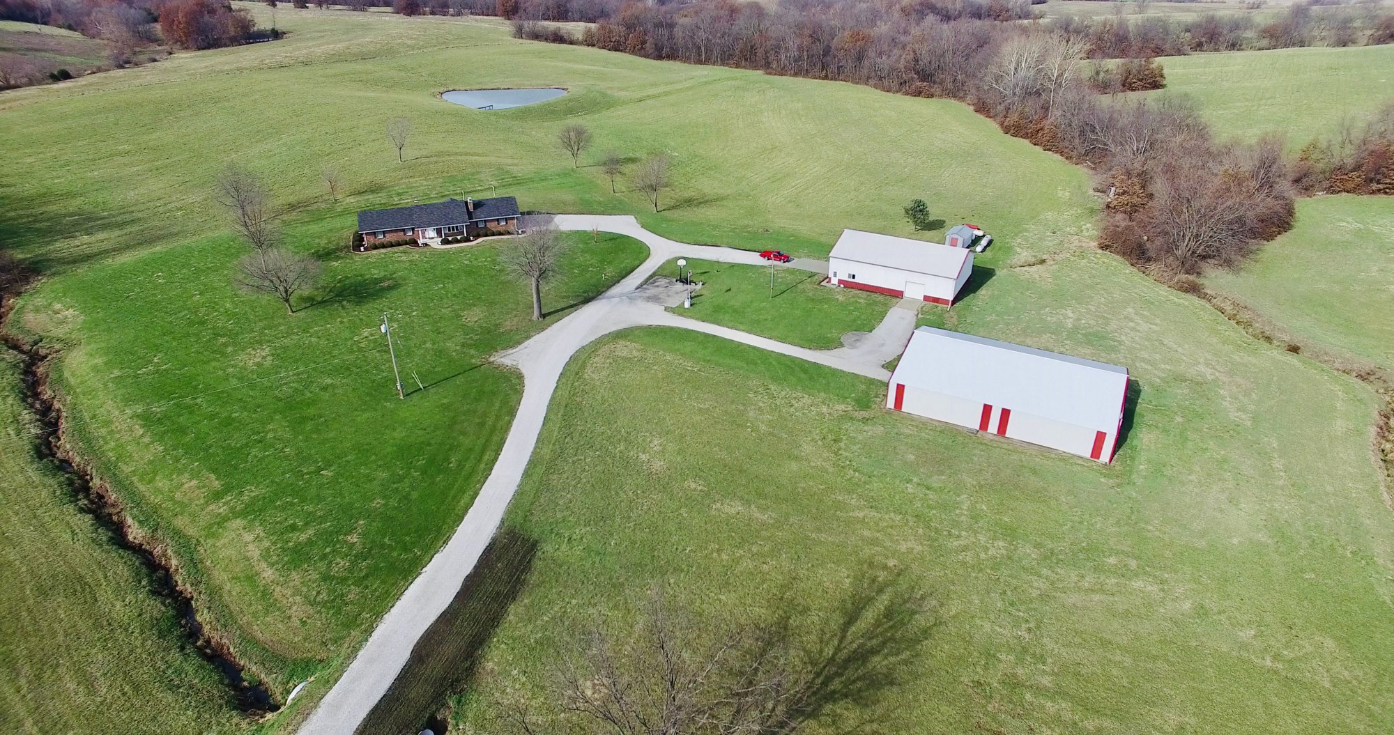
A satellite overview puts the property and its viewpoints in context.

INTERACTIVE PROPERTY TOURS
An aerial overview and immersive 360° views, connected in one shareable property tour.
 LAND · LOCATION · PERSPECTIVE
Start with a satellite overview. Choose an orange dot to open a photosphere, then look around and move to another view. Boundary lines and callouts help explain what viewers are seeing.
Ask about a tourA satellite overview puts the property and its viewpoints in context.
Click a viewpoint, look around, and follow the orange dots to other views.
Send the property’s tour link to buyers and include it with your listing materials.
MADE FOR THE BIGGER PICTURE
Boundary markings are visual guides, not a survey or legal property description.
YOUR NEXT PROJECT
Our photo packages include a 360° virtual tour and floor plan of the home. Ask Marc about tour coverage for your property or request a sample.